Westward
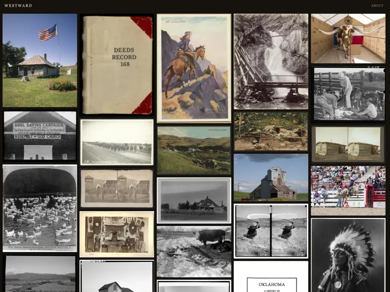
An endless scroll of public-domain photographs of the American West.
Most of this work sits at the intersection of digital history, computational research, community-engaged and public-facing scholarship, and design — a combination of solo projects and collaborations. Find more on GitHub and Observable, or see my full CV.
An endless scroll of public-domain photographs of the American West.
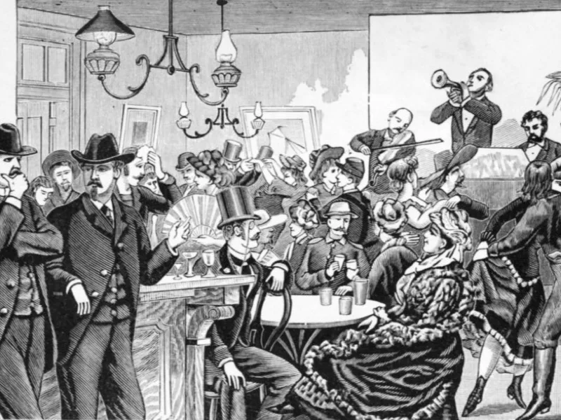
Mapping the operations, agents, and impact of the Pinkerton National Detective Agency across the United States.
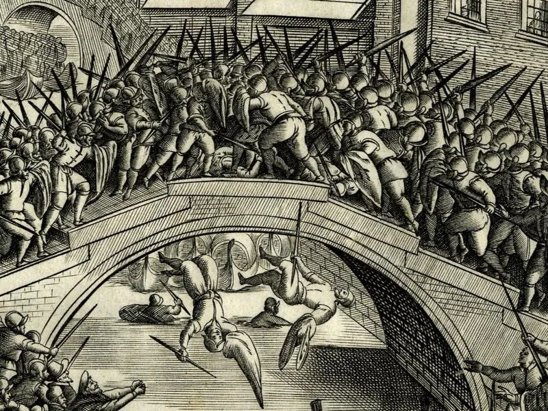
How violence was enacted, understood, and remembered in the cities of early modern Italy, 1500–1700.
Teaching materials, history content, and best practices for K–12 American history education.
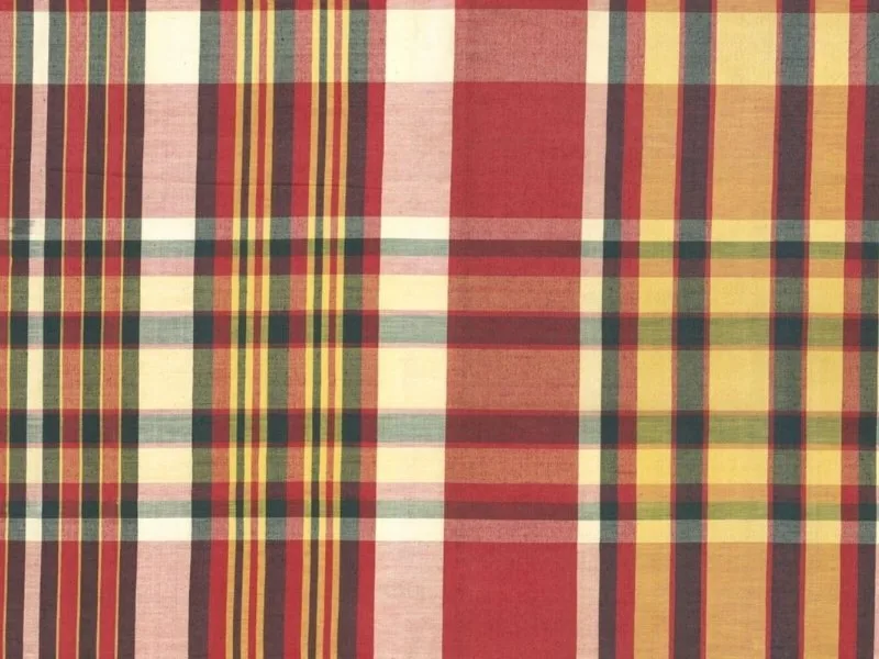
Amplifying the contributions of Indian weavers and African Caribbean consumers to global histories of dress.
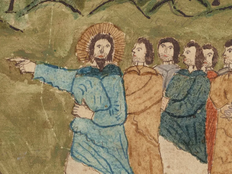
An eighteenth-century Pennsylvania merchant's manuscript and watercolor.
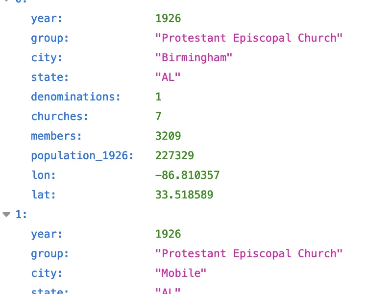
A structured data transcription module for Omeka S.
A data API for data-driven research at RRCHNM.
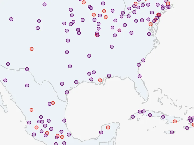
New datasets and visualizations to better understand the history of American religion.
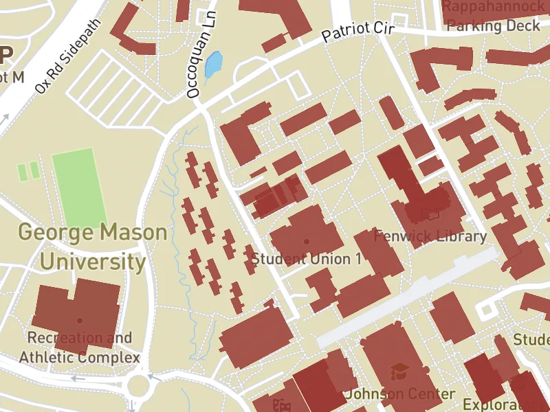
Campus histories of slavery, exclusion, segregation, and bias on Virginia's physical structures.
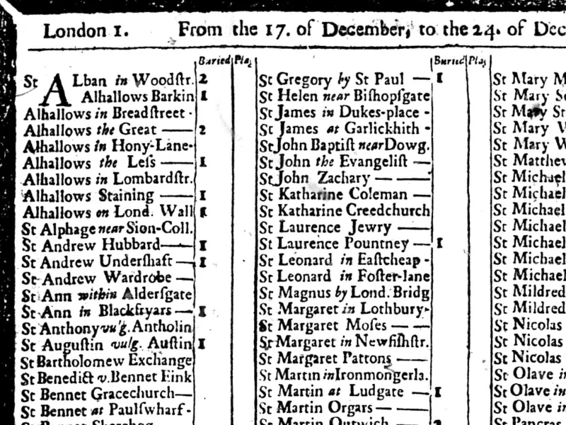
Transcribing and publishing the London Bills of Mortality in a dataset suitable for computational analysis.
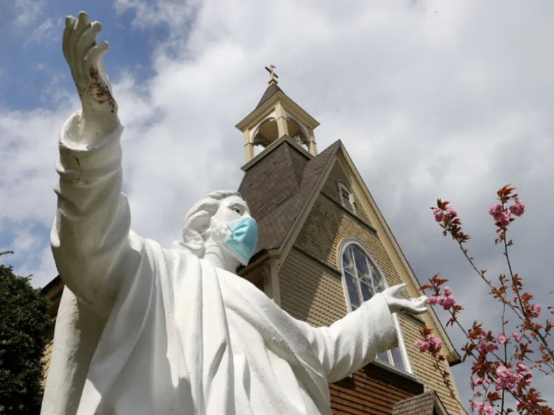
Documenting American religion in a time of pandemic.
Documenting how American Jews responded to the coronavirus pandemic.
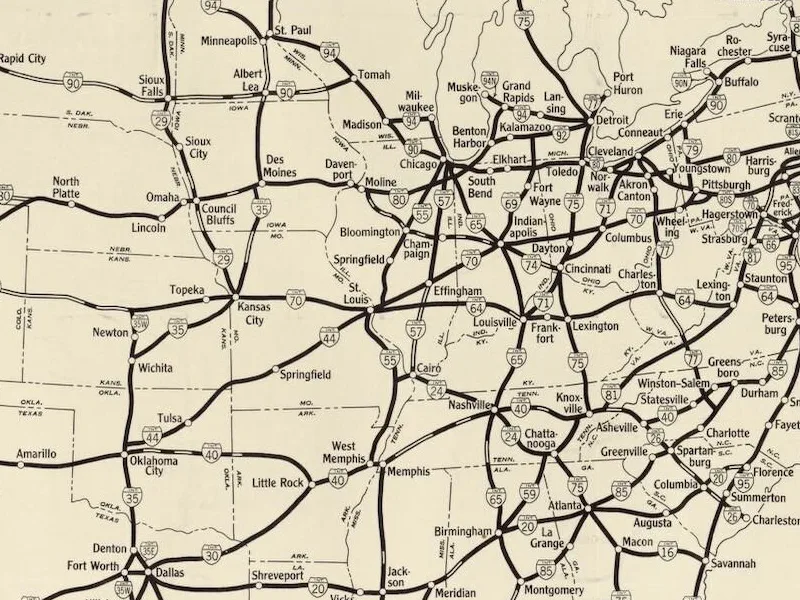
Visualizing and critically examining the development of the U.S. interstate highway system.
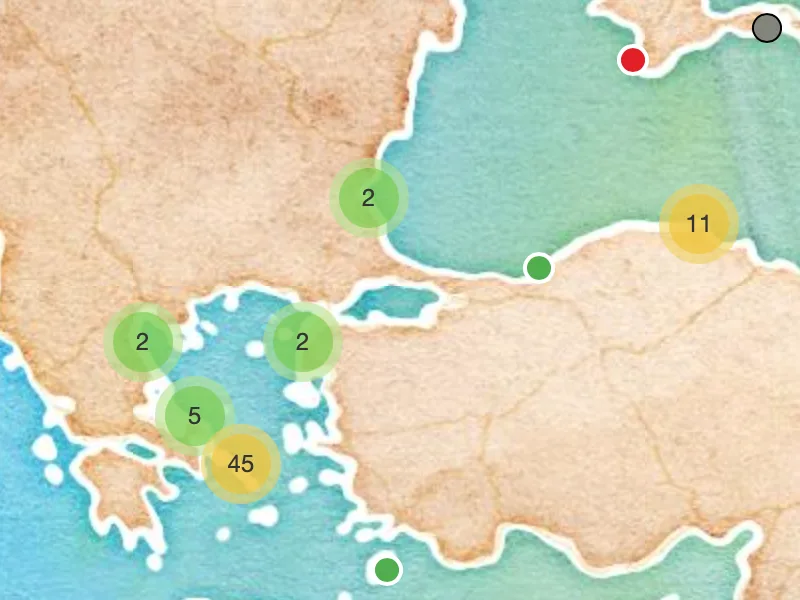
Mapping instances of Hephaistion across areas with linguistic Attic-Ionic foundation.
Share what we create while reconciling with self-isolation.
Curating histories of Nebraska and the Northern Plains.
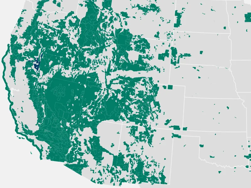
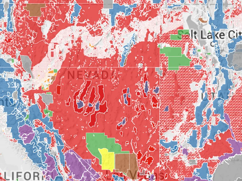
Mapping the federal lands of the United States.
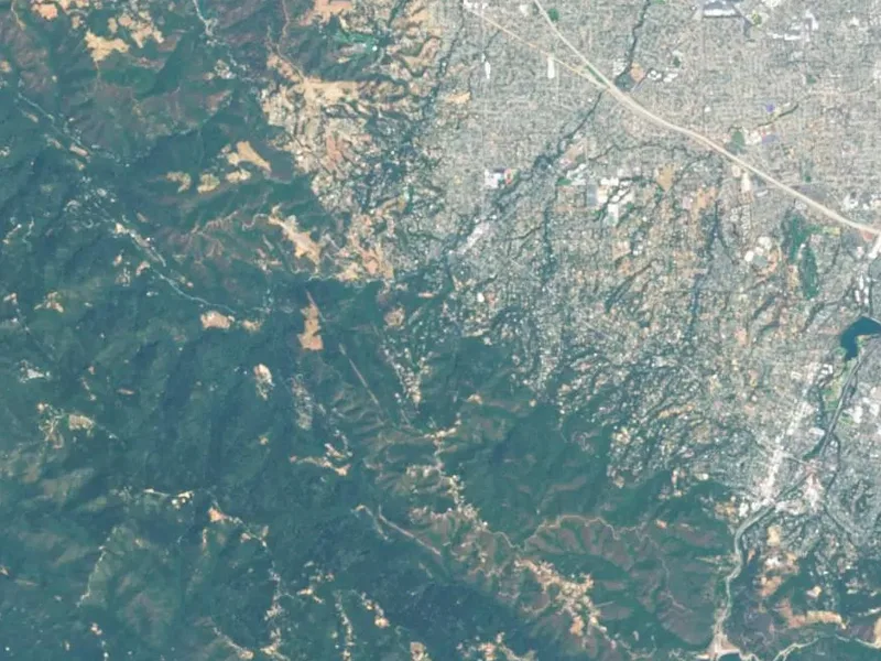
A spatial history and digital narrative of Silicon Valley.
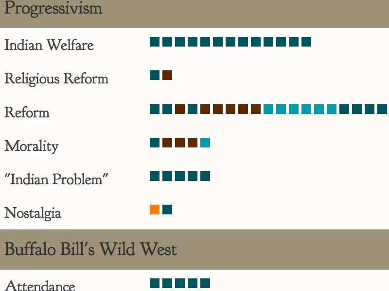
Debates over Reformist and Enabling Progressives in the Wild West.
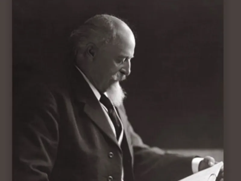
Digitizing the papers of William F. Cody.
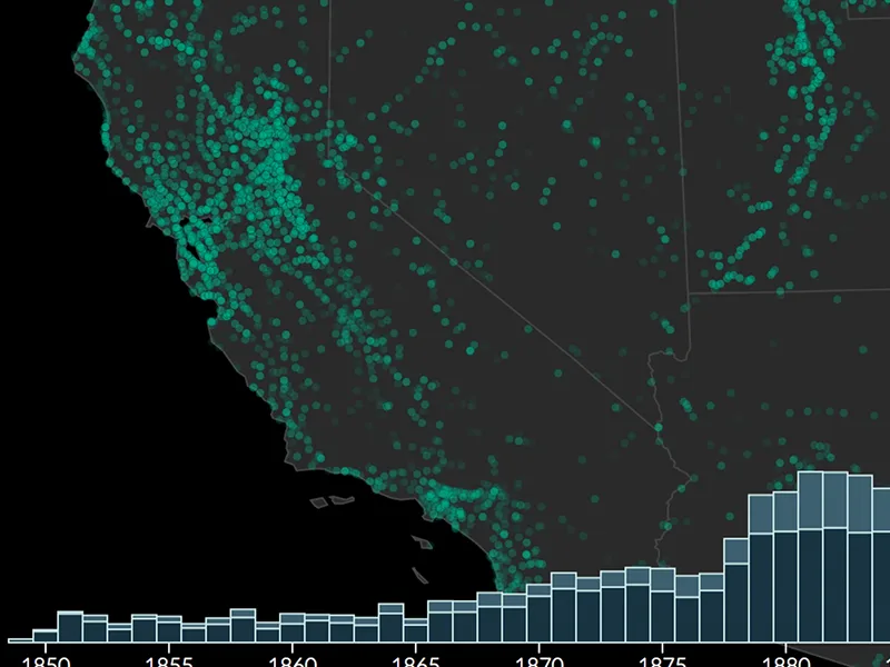
The spread of 14,000 post offices across the nineteenth-century American West.
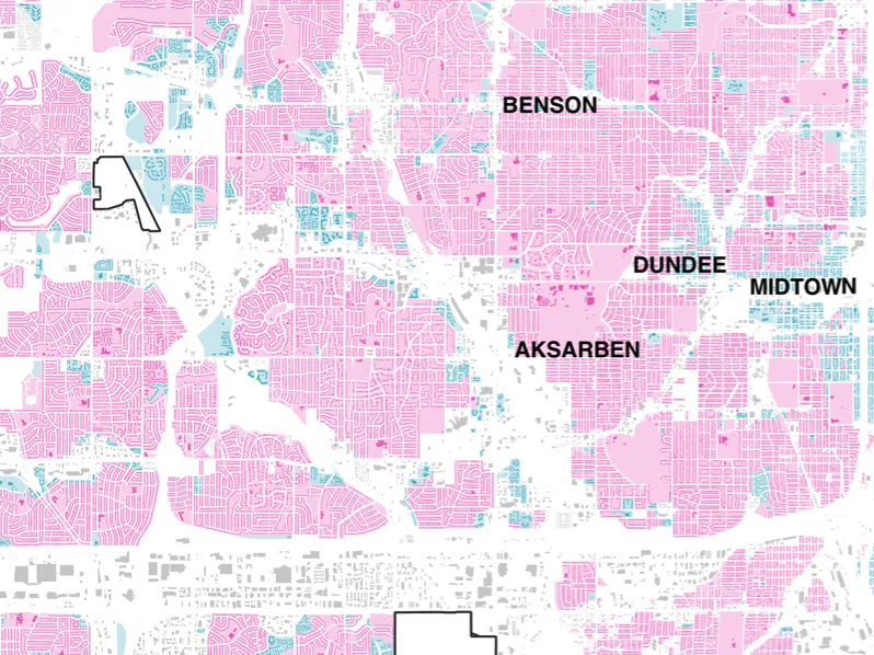
Visualizing single-family and multifamily zoning.
Every property parcel in Omaha, one tweet at a time.
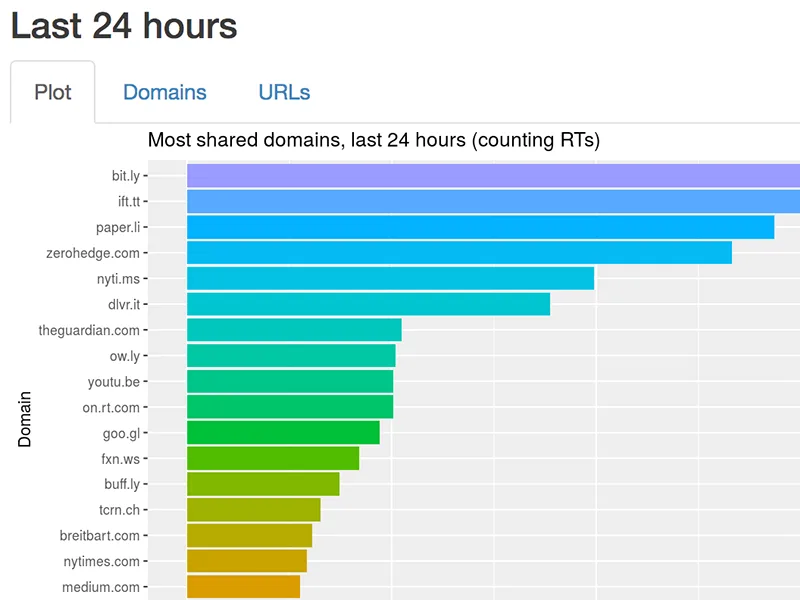
Scraping Twitter to explore trends in #deletefacebook.
Raising awareness about threats to public data.
Partnering with community archives throughout the Great Plains.
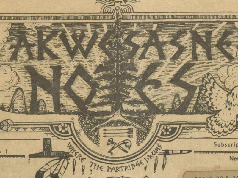
Digitizing Indigenous newspapers, photographs, and archival materials across Native North America.
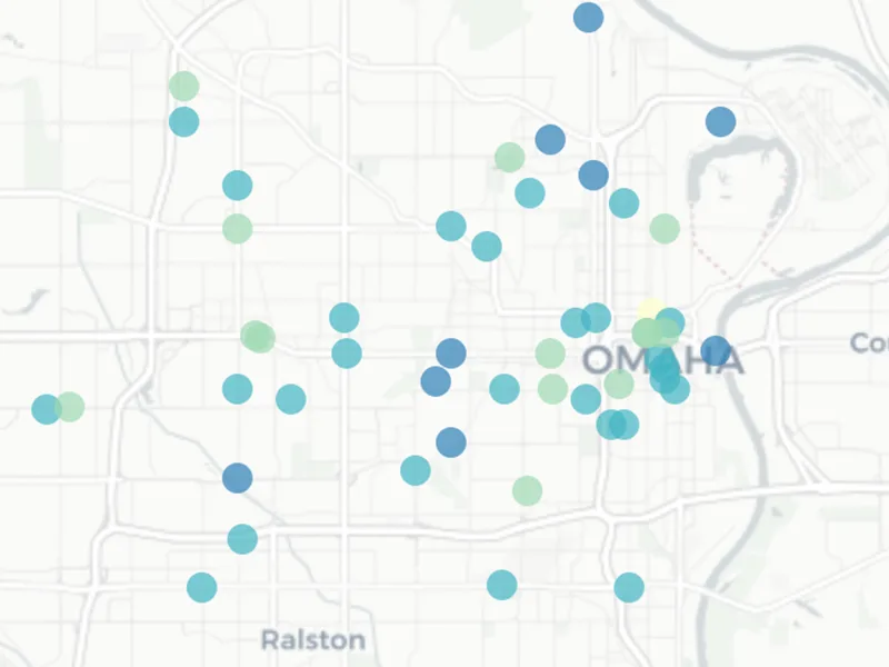
The most dangerous areas in Omaha for bicyclists and pedestrians.
Visualizing the federal government's holdings of Western land.
Exploring changes in taste among food items at the palace in Königsberg, Prussia during the reign of Friedrich Wilhelm. Collaboration with Molly Taylor-Poleskey.
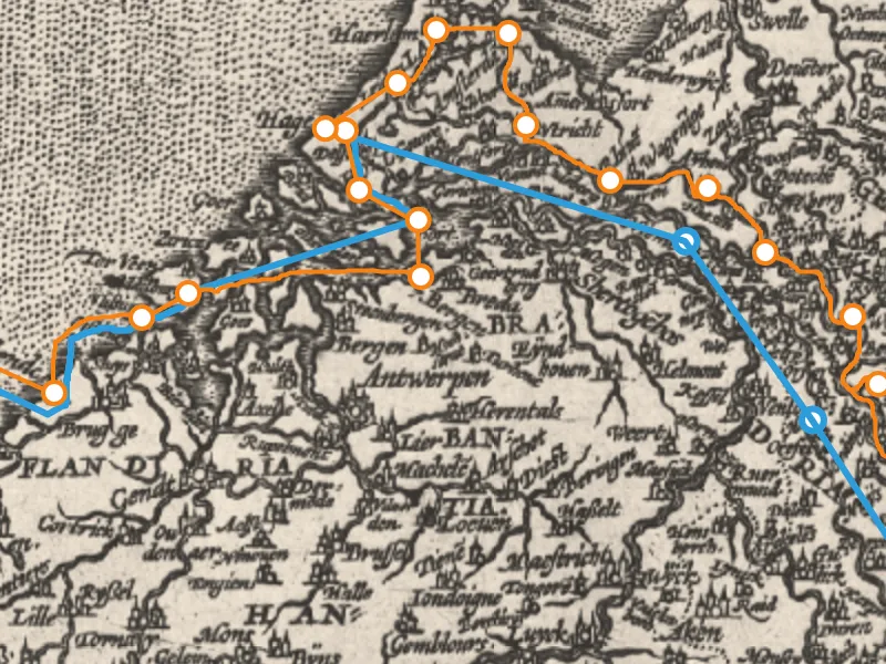
An interactive narrative of the journey of the court of Prince-Elector Friedrich Wilhelm. Collaboration with Molly Taylor-Poleskey.
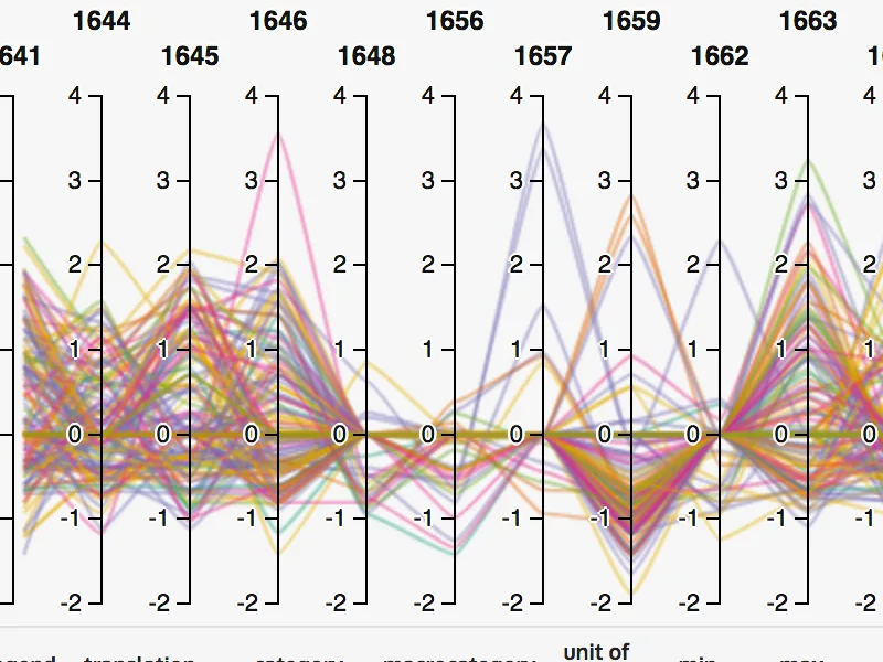
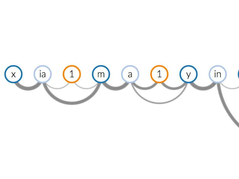
Visualizing 21st century Chinese writing. Collaboration with Tom Mullaney.
Discussions about higher education, digital humanities, technology, games, and learning. Hosted by Elijah Meeks, Jason Heppler & Paul Zenke.
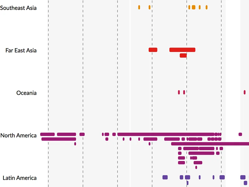
Visualizing the wars of the United States.
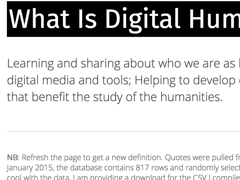
Perpetual answers to the perpetual question.
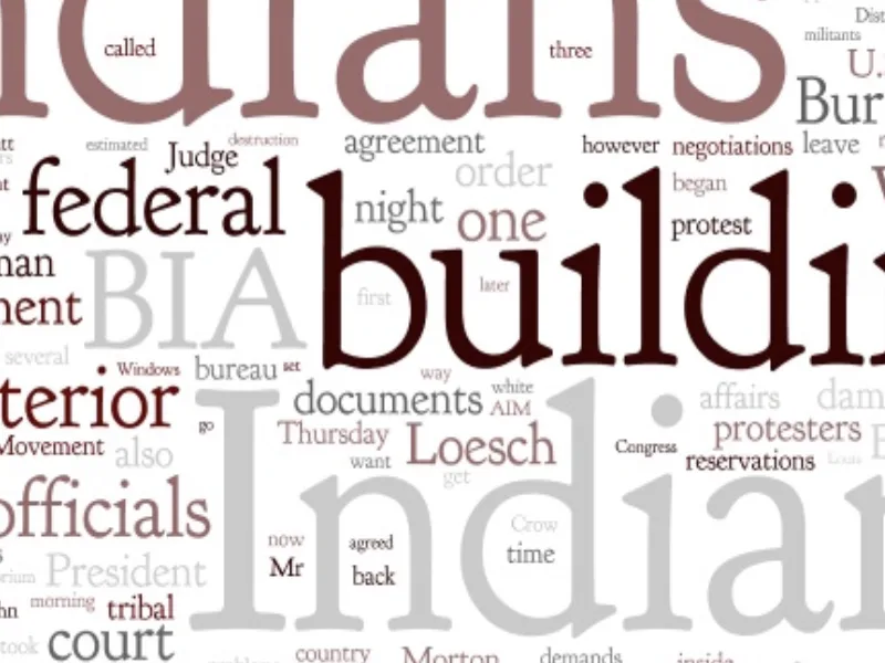
Exploring how the media covered the Trail of Broken Treaties.